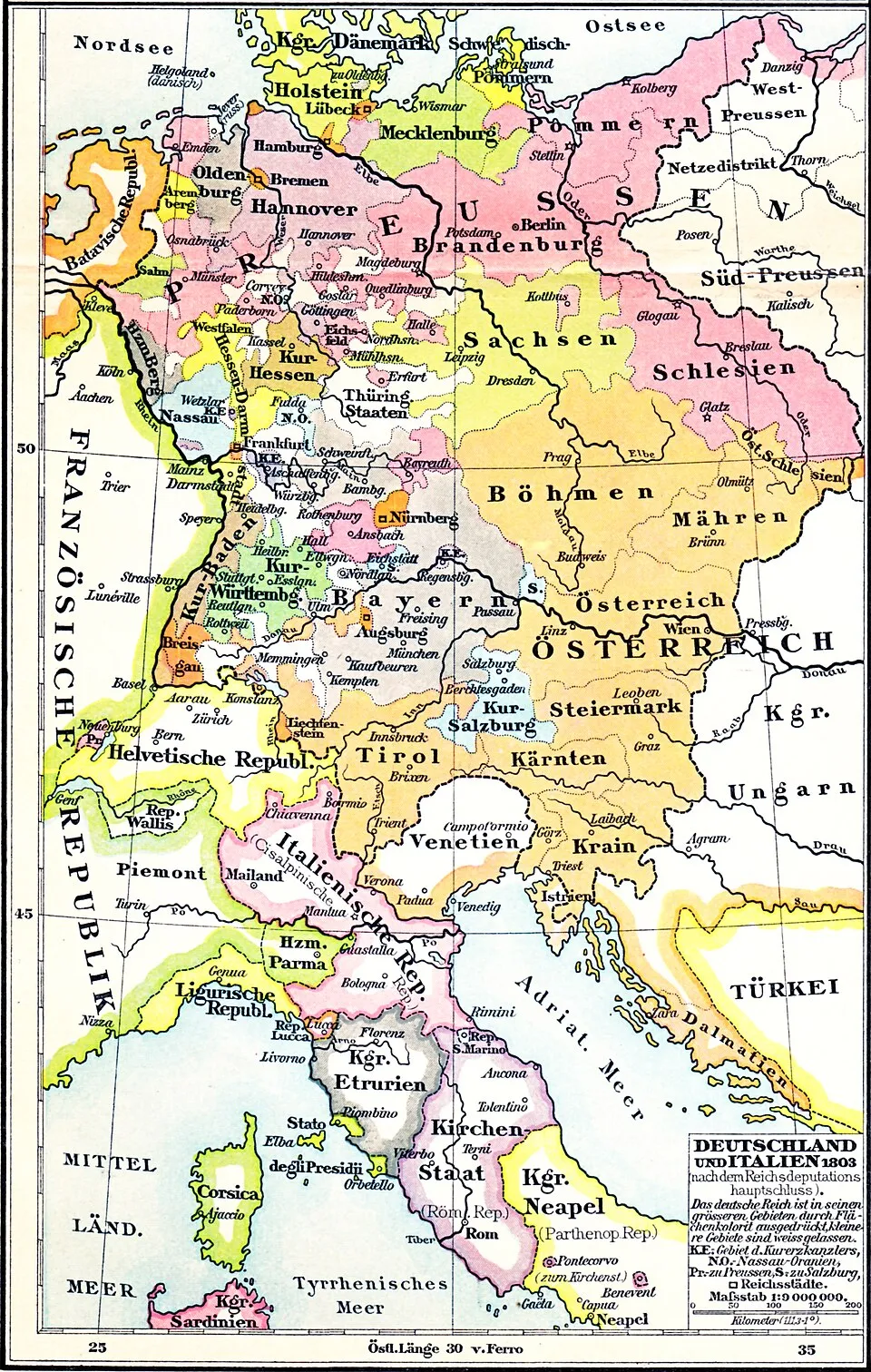
Deutschland und Italien nach dem Reichsdeputationshauptschluss 1803 (Putzger)
Karte, Geographische Anstalt von Velhagen & Klasing, Leipzig, entstanden 1900. Vorlage 1366 × 2151 Pixel.
Karte1803 in EuropeKingdom of EtruriaMaps of the Italian Republic (Napoleonic)Napoleonic Wars in 1803
Dazu lesen