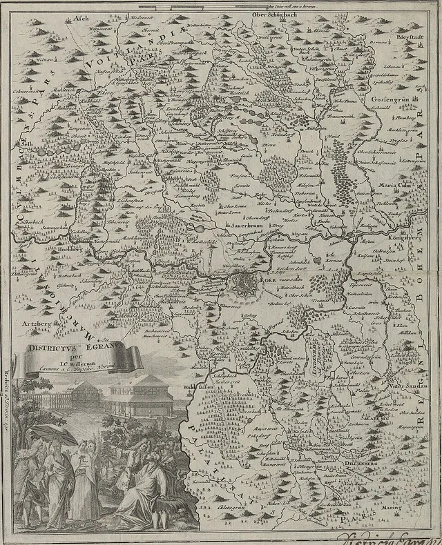
Districtus Egranus: Karte des Egerlandes (Johann Christoph Müller)
Karte, Johann Christoph Müller, entstanden 1715. Vorlage 3751 × 4629 Pixel.
Karte1715 mapsEgerlandMaps of Cheb DistrictMüller's map of Bohemia
Dazu lesen
Karte, Johann Christoph Müller, entstanden 1715. Vorlage 3751 × 4629 Pixel.