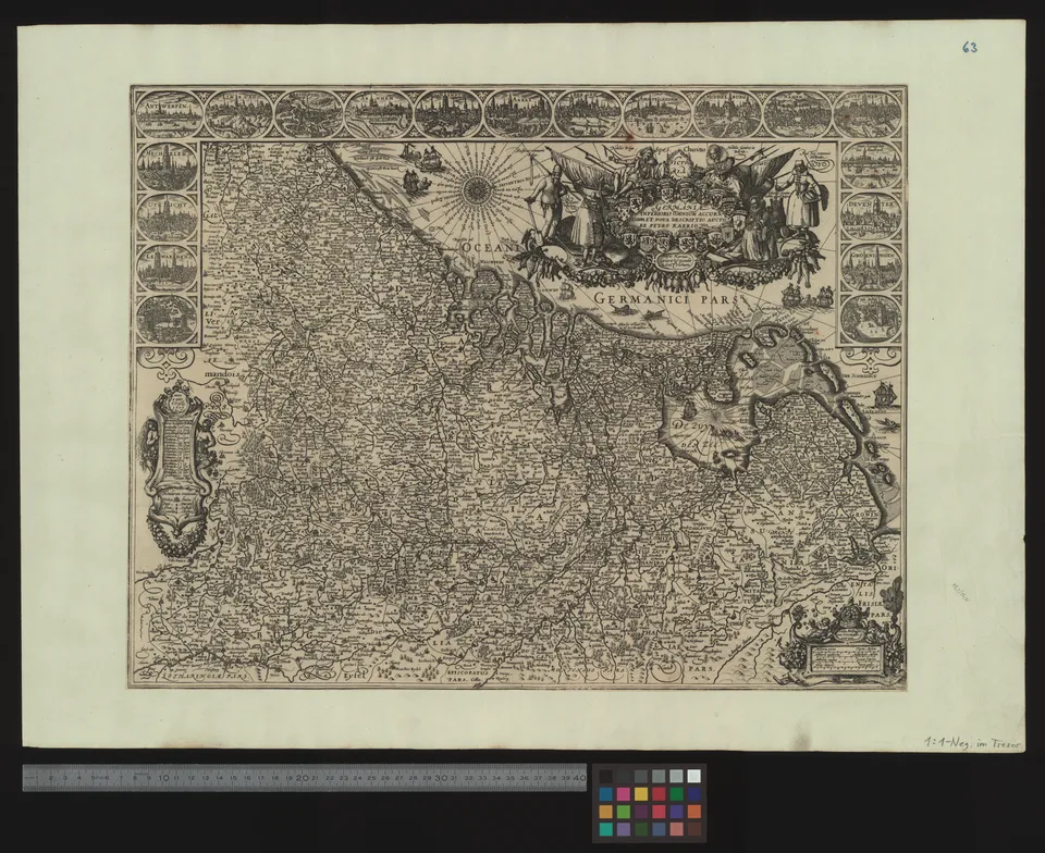
Germaniae inferioris omnium accuratissima et nova descriptio
Karte, Pieter van den Keere, entstanden ca. 1600. Vorlage 11892 × 9706 Pixel.
Karte17th-century maps of Belgium17th-century maps of the Holy Roman Empire17th-century maps of the NetherlandsMaps by Pieter van der Keere
Dazu lesen